Get the quantile of raster image
1 | # -*- coding: utf-8 -*- |
1 | # -*- coding: utf-8 -*- |
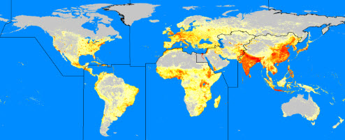
https://www.satpalda.com/product/landscan/
link:https://pan.baidu.com/s/189e1dKLJJjZC5D08-mAjtA
code:cq6a
size: 72.31MB
link:https://pan.baidu.com/s/1q4BnAbMZQkIkBHZ6d73Q3w
code:ytv4
size: 74.15MB
link:https://pan.baidu.com/s/1vHti6PhElqe1X7jh1_lMCw
code:5l55
size: 75.58MB
link:https://pan.baidu.com/s/1MJUuyaYTndzmMZ2Wys1XJw
code:eqzz
size: 75.28MB
link:https://pan.baidu.com/s/1vxhanDf3-z4wd6Xsi2szJw
code:dh6e
size: 74.45MB
link:https://pan.baidu.com/s/1LnUzehqMDoaRImXCQ4DnlA
code:sro9
size: 73.96MB
link:https://pan.baidu.com/s/1YaTWfGW9Ya0EDTldfdGwkA
code:w6tb
size: 73.80MB
link:https://pan.baidu.com/s/1Sf2EIpccNfk0QUQ2lQEkeQ
code:armv
size: 74.25MB
link:https://pan.baidu.com/s/1lEEuOfJXgdjSaEW382LOKQ
code:4ulc
size: 74.63MB
link:https://pan.baidu.com/s/1tWOiEoWDdbes-PZ4XrCI_Q
code:f9kf
size: 74.84MB
link:https://pan.baidu.com/s/1yt7RdkAqQNLdxy0_dgaZLw
code:ll61
size: 75.26MB
link:https://pan.baidu.com/s/1GX-b77XfC2qnX2fmJGDplA
code:uxid
size: 74.72MB
link:https://pan.baidu.com/s/1G5-IdenApWNMQt-P-Nx0hA
code:2g1n
size: 73.20MB
link:https://pan.baidu.com/s/1jAcXz-gW_BdiJeJuNZog7Q
code:s14c
size: 70.36MB
link:https://pan.baidu.com/s/1HdYheGyMNHVdAOZFXshFlw
code:m2x4
size: 75.07MB
link:https://pan.baidu.com/s/1vdmkPJjYePIlemKXPzDCkQ
code:vywg
size: 74.97MB
link:https://pan.baidu.com/s/1N2zvpEcHBqxqb5GKgmcNYQ
code:qcfg
size: 74.13MB
link:https://pan.baidu.com/s/1mVRI1bOwprwfxADMSu4oOA
code:2egy
size: 73.21MB
link:https://pan.baidu.com/s/1-xrFNTSI-3pLVI5aHT9Crg
code:yjbo
size: 4.3GB
link:https://pan.baidu.com/s/17TJOs51JCWaRX2VYq8UBNA
code:5enb
size: 4.99GB
link:https://pan.baidu.com/s/1OkRcp2_x2XV1YB-KCV56ow
code:jxzu
size: 5.21GB
link:https://pan.baidu.com/s/1gxN4bjU1iQ7ADys4G9XibQ
code:23c7
size: 6.03GB
link:https://pan.baidu.com/s/1g7F5rwOzgNAxp5IKfljSag
code:bsz3
size: 6.21GB
link:https://pan.baidu.com/s/19tKUPnagr2M6pJeES9yp8Q
code:o5l0
size: 3.65GB
link:
code:
size:
link:https://pan.baidu.com/s/1laMHhwC_x4IuHMg77gidnQ
code:avq2
size: 3.69GB
1 | # -*- coding: utf-8 -*- |
1 | # -*- coding: utf-8 -*- |
1 | # -*- coding: utf-8 -*- |
1 | # -*- coding: utf-8 -*- |
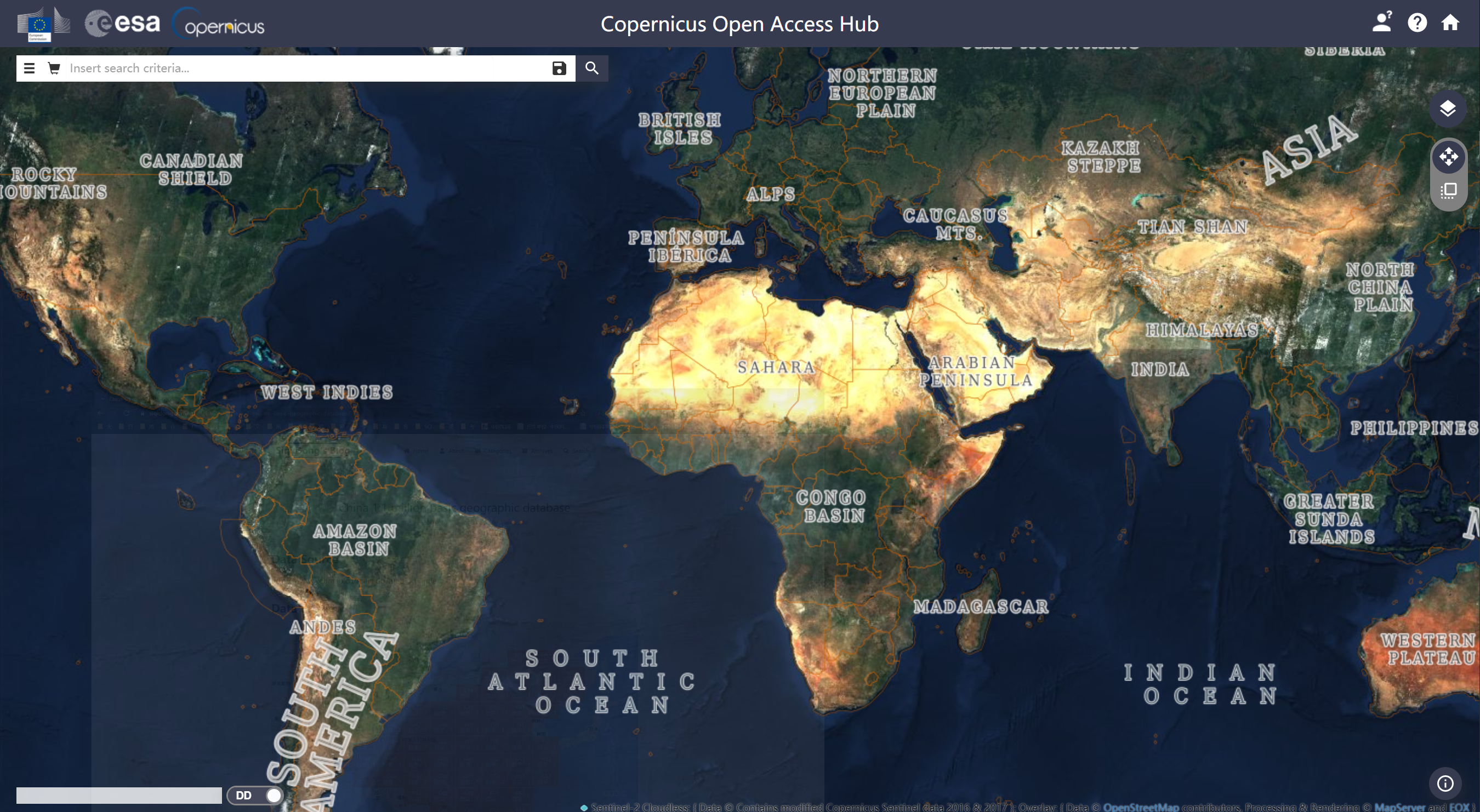
https://scihub.copernicus.eu/dhus/#/home
1 | # -*- coding: utf-8 -*- |
https://earthexplorer.usgs.gov/
1 | # -*- coding: utf-8 -*- |
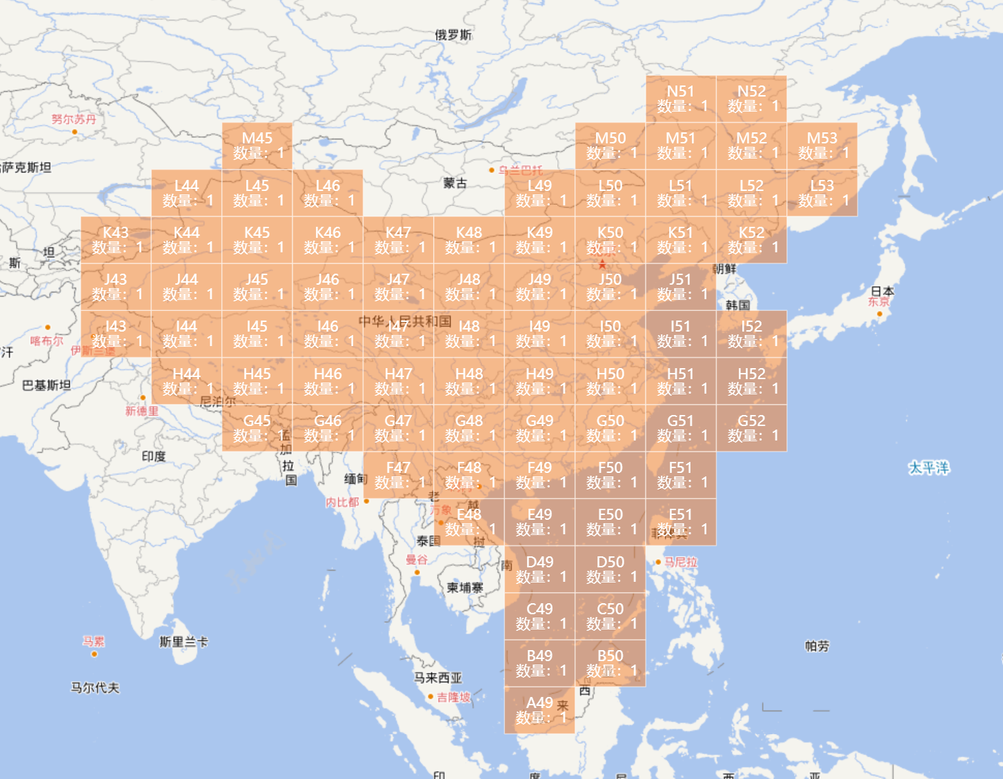
http://www.webmap.cn/main.do?method=index
link:https://pan.baidu.com/s/14-RU7qBwqo-9IH1-9tq8hQ
code:s2kt
size: 166MB